About
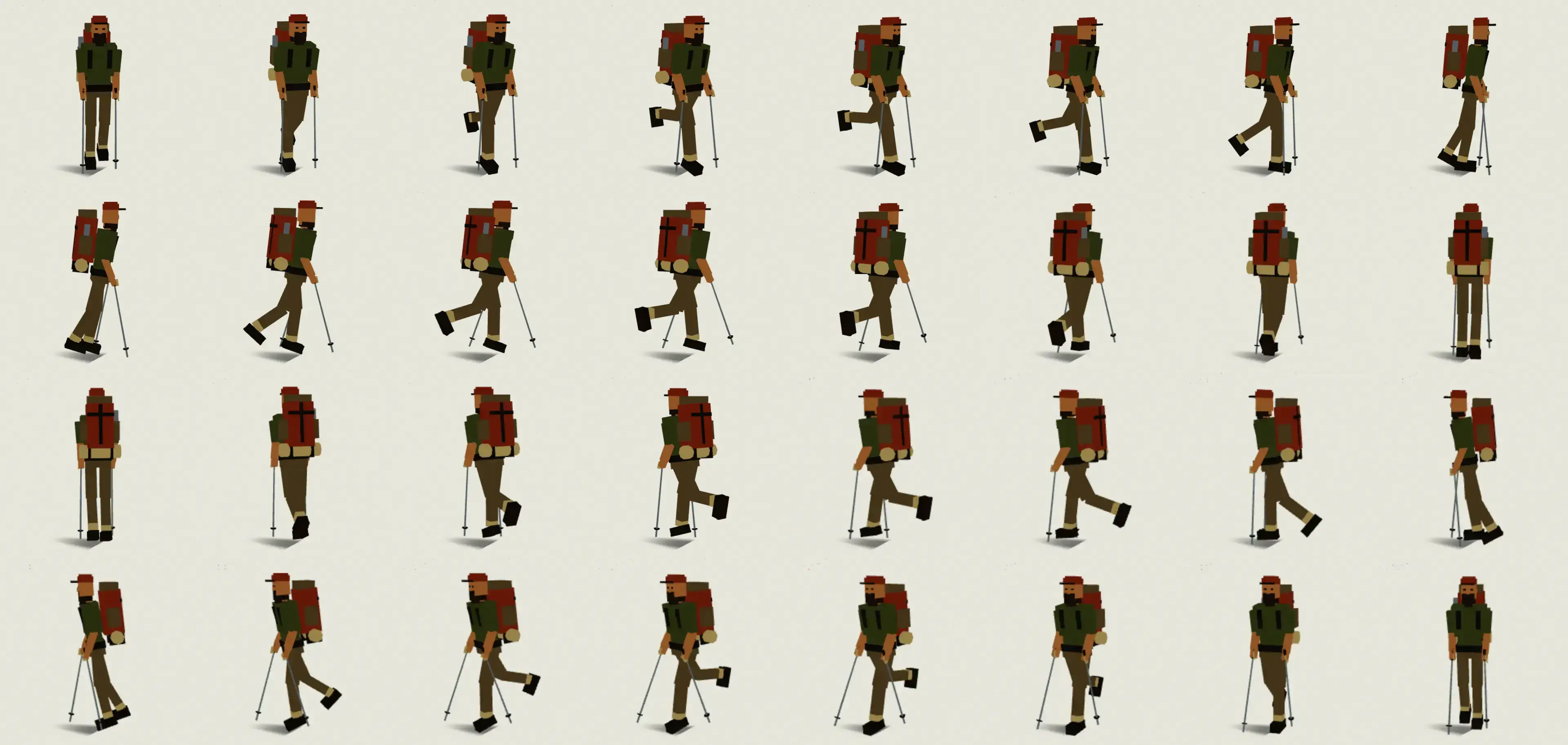
I'm Wyatt LeVine. In 2012 I set out to hike the Appalachian Trail, and I kept a journal as I went — writing most nights from a shelter, a hostel bunk, or a patch of dirt, while it was all still fresh and aching.
Lucky Wander Wyatt collected those entries — 114 of them, spanning 2012 through 2013. The site went dark for years; this is that journal, recovered and rebuilt, kept as close to the original as I could.
The best way to read it is the way it happened — start at Day One and walk north with me, or browse the whole trail and drop in anywhere.
Questions about the hike
Answered from the journal itself, with the entries each answer comes from.
When and where did the hike start?
On Saturday, April 14, 2012, at Springer Mountain, Georgia: a northbound thru-hike of the Appalachian Trail, "as 90% of hikers are wont to do." My parents drove Tim and me down.
From The site is live, hello world!, It's The Final Countdown, T-Minus 12 hours before departure
Who did you hike with?
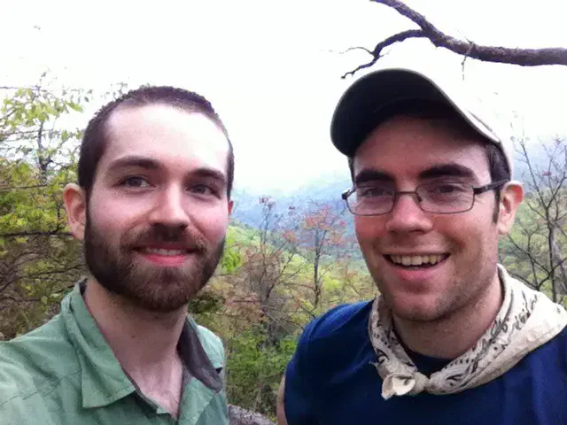
Tim, whose trail name was Mr. Fantastic, from Springer Mountain to the trail's halfway point in Pennsylvania, where he ended his hike in July 2012. My mom (trail name Bonecrusher) hiked part of a day with us in Virginia, and Chris joined me for a stretch from the halfway point. In 2013 I went back on my own: "a lone wolf back in the woods."
From Back to our regularly scheduled program, Half Gallon & Halfway, Back to my filthy evil, I guess, Welcome back, enjoy the plague
What were your trail names?
Dr. Horrible, for most of the hike. Tim, whose trail name was Mr. Fantastic (I gave him that one, for all his stretching), renamed me in May 2012 on the way to Clingmans Dome, after Doctor Horrible's Sing-Along Blog, because it went so well with his name. Before that, Tim had named me Guts at Neels Gap in Georgia, and my photo went up on the wall of the Walasi-Yi Inn under it.
From A walk in the rain, Exhausted!
How heavy was your pack?
My base weight (before food and water) was 23 pounds when I started in 2012. Between the two seasons I upgraded my gear and got it down to 11 pounds for 2013, "a serious upgrade to comfort."
From It's The Final Countdown, Welcome back, enjoy the plague
What gear did you start with?
An external-frame backpack, a tent, sleeping bag and mat, ground tarp, cooking system, water purification, hiking boots, a solar charger, a Leatherman and a first-aid kit, and a GoPro Hero2 for video. At Trail Days I bought a better charger, and by July I was hiking in Salomon shoes.
From The site is live, hello world!, It's The Final Countdown, Trail Days Pt. 1, Half Gallon & Halfway
Did you go to Trail Days?
Yes: Trail Days 2012, the hikers' festival in Damascus, Virginia, in May. We hitched in from a highway crossing, "5.5 hours to get into Damascus, riding in 5 different vehicles," camped in tent city, and hitched back to the trail after.
From A do-nothing-day, Trail Days Pt. 1, Trail Days Pt. 2, Trail Days concluded
Why did you skip part of Shenandoah?
At the end of June 2012 a forest fire was burning up the trail, and the closures meant being shuttled about 8 miles past where we had last gotten off. Then a stomach bug kept me off the trail for days, with a visit to a clinic. When I was well I picked the trail back up at Ashby Gap ("I've skipped ahead at this point"), meaning to come back down for the missed section once I reached Katahdin.
From No Joy in Mudville, Back to our regularly scheduled program
Did you do the half gallon challenge?
Yes, on July 15, 2012, at the general store by the trail's true halfway point in Pennsylvania, with Mr. Fantastic and a big crew of other hikers. The tubs are 1.5 quarts: "a pint shy of a real half gallon, but that's how they sell them now."
Why did you leave the trail in 2012?
Frustration with the bugs, and with the lack of water in the drought. On August 10, 2012, at the Blue Mountain Summit B&B in Pennsylvania, with "the dwindling water supply options, the heat wave, swarms of biting bugs, and lack of a group of hikers to bitch with," I found I no longer wanted to be out there, and called for a ride home. "I have no doubt that I'll come back and finish the miles yet to go."
From Blue Mountain Summit
When did you go back?
About ten months later, on June 23, 2013, at the Blue Mountain Summit B&B, exactly where I had left off. In between I was offered a great job, earned some money and upgraded my gear, and I went back alone.
Where does the journal end?
At Bear Mountain, New York, on July 13, 2013, with views of the Hudson below: the last entry, "Another Bear Mountain."
Why did the hike end at Bear Mountain?
A few things together. The bugs, the lack of water in the drought, and not having a cohesive group of people to hike with all made it easier to get off the trail. My parents were close by, so a ride home was easy to catch right then. And I had just had a wonderful, relaxing time around the Bear Mountain area, which blended nature and people together nicely and made home seem enticing.
The world under the trail
The country the journal walks through is built from open data, and credited as its licences ask:
- Ground imagery: contains modified Copernicus Sentinel data 2019–2023, from the Sentinel-2 archive on AWS.
- Land cover and town lights: © ESA WorldCover project 2021 / contains modified Copernicus Sentinel data (2021) processed by the ESA WorldCover consortium, CC BY 4.0.
- Elevation: Terrain Tiles on AWS (Mapzen), made from 3DEP, SRTM and GMTED2010, courtesy of the U.S. Geological Survey; ETOPO1 (Amante, C. and B.W. Eakins, 2009, NOAA National Geophysical Data Center); and the Canadian Digital Elevation Model, Natural Resources Canada, which contains information licensed under the Open Government Licence – Canada.
- Roads, rivers, lakes and the trail's line on the map: © OpenStreetMap contributors, the roads by way of the Overture Maps Foundation. The road and water data this site serves (under
/world/) is a database derived from OpenStreetMap and is available under the Open Database License. - Weather, hour by hour: NOAA's Integrated Surface Database (National Centers for Environmental Information), from the NOAA Open Data Dissemination program.
- Stars: the Yale Bright Star Catalogue (Hoffleit & Warren).
- The narration is my journal, word for word, read by an AI voice made from my own; it and the sounds of the trail were made with ElevenLabs.
Privacy
No accounts, cookies or ads, and nothing about you is sold or shared. Cloudflare, which hosts the site, counts visits with its Web Analytics, which sets no cookies and does not follow you from site to site. Your browser keeps a few small notes on your own device (that you have seen the journal's one-line guide, whether you stilled the home page's map, where you stopped listening), and they never leave it. If something on a page breaks, the page sends the site what broke — the error, the page and the browser, nothing about you — so it can be fixed.